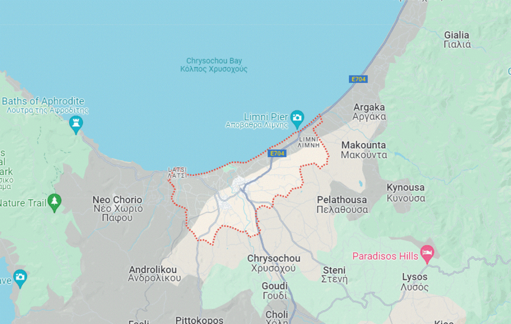
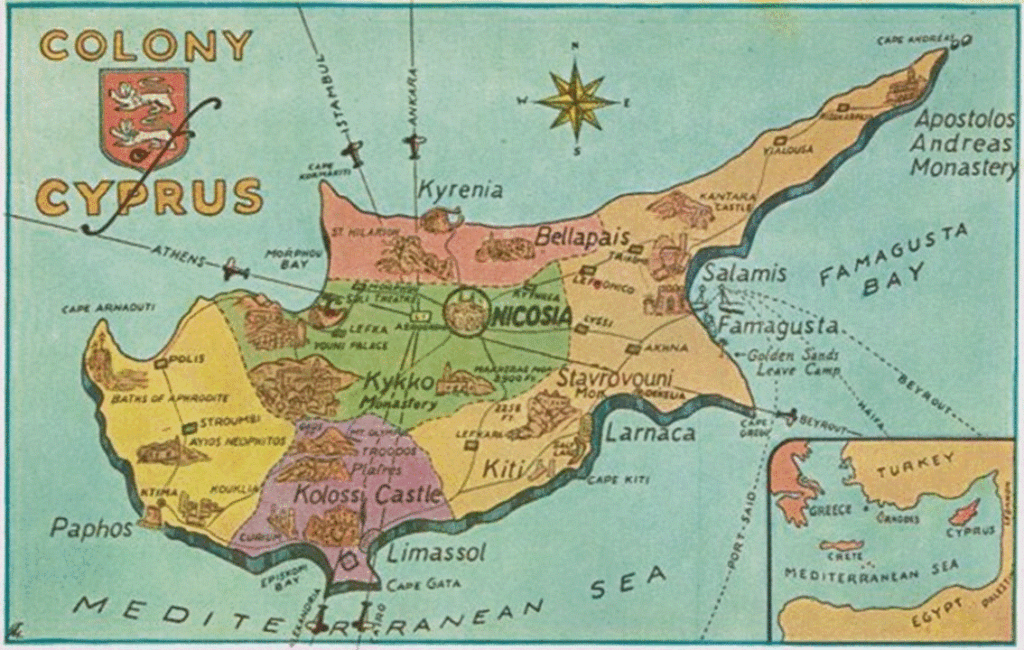
The town of Polis Chrysochous is situated 37 kilometres north-east of the city of Paphos. The area surrounding the town stretches a short distance from the Akamas Peninsula to the edge of the north-western side of the Troodos Mountains. The town itself, commonly known as Polis, is the smallest independent municipality in Cyprus. It does however, have a long and varied history that dates back thousands of years. There is evidence of human settlement dating as far back as the Neolithic period and the Trojan War. Polis like many other places in Cyprus has adapted and embraced influences from the various civilizations that have occupied the island over time, resulting in a rich and diverse history.
A MAP OF THE AREA AROUND POLIS
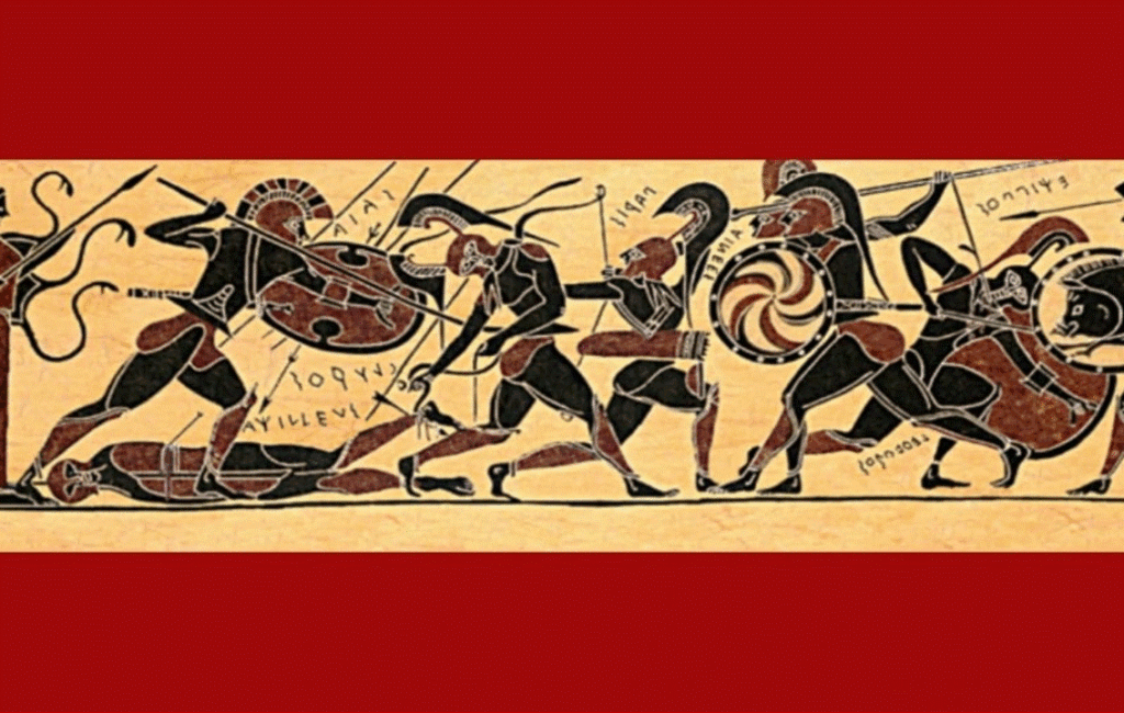
A DEPISCTION OF THE TROJAN WAR
AN INTRIGUING HISTORY
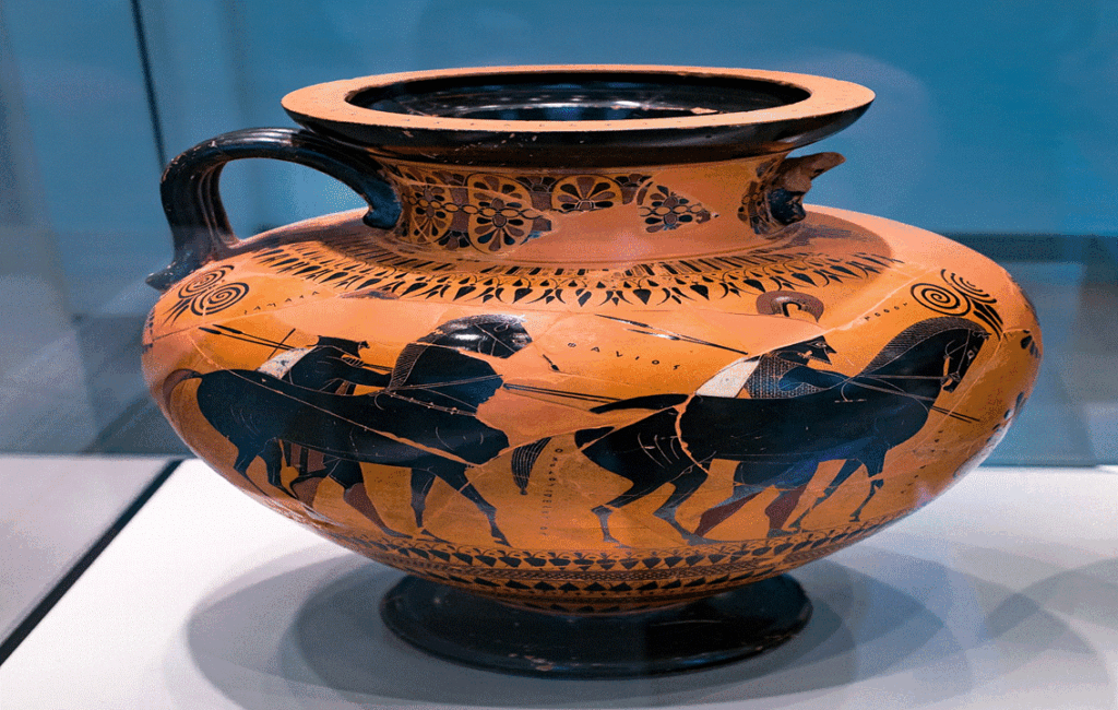
The area surrounding Polis has an intriguing history. This hstory touches on both factual evidence and mythology. It is said that Akamas, the son of Theseus, gave his name to the Akamas peninsula after passing through the area during one of his numerous adventures. Archaeological excavations have revealed the presence of prehistoric settlements and tombs, revealing the earliest evidence of human settlement in the area. It is also known that Achaean miners settled this part of Cyprus to mine its rich copper deposits immediately after the Trojan War. These miners formed a number of settlements in the immediate area, including Marion, which is Polis Chrysochous first incarnation.
A DECORATIVE VASE WITH DEPICTING AKAMAS SON OF THESEUS
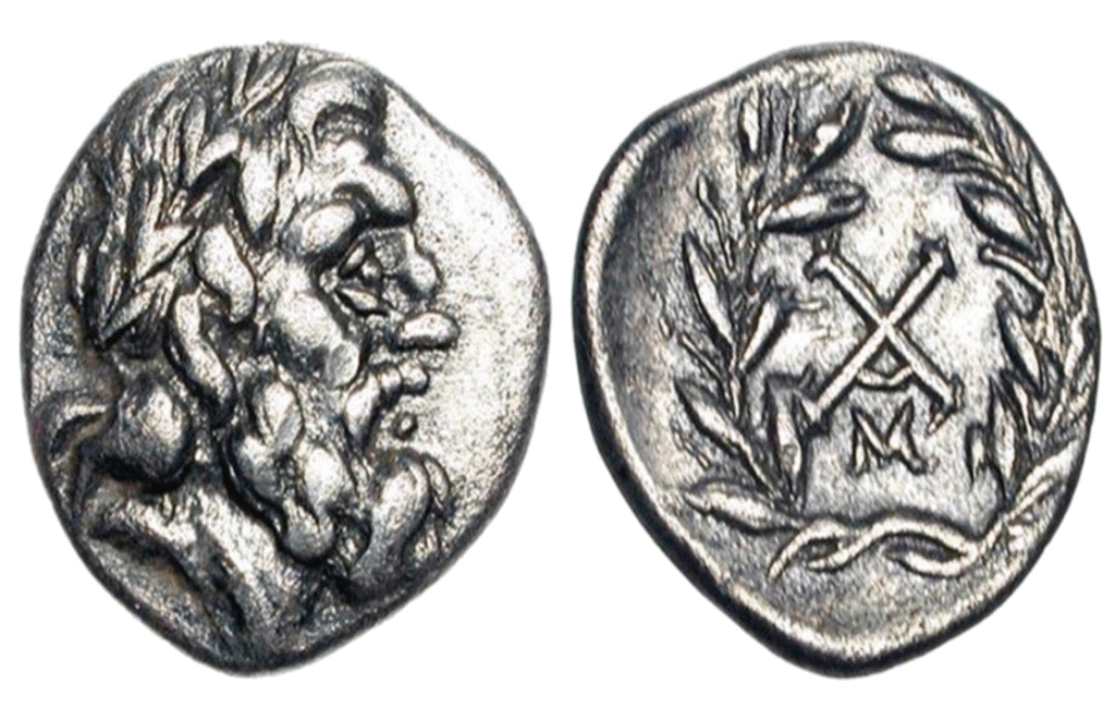
ARCHAEAN COINS FROM THE PERIOD
THE SETTLEMENT OF MARION
The settlement of Marion eventually became an important city-kingdom in ancient Cyprus. It played a significant role in moulding the island’s political and cultural direction at the time. Amongst other artefacts two coins dating from the 5th century were unearthed. These coins depict two Greek kings who were known as Stasikos and Timoharis of Marion. The economy of Marion was chiefly based on agriculture and the exportation of copper from nearby mines. Marion’s easy access to both the mines and the natural harbour put it at the centre of the copper mining industry at the time, ensuring its prosperity for several years.
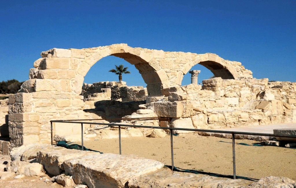
THE ANCIENT CITY OF MARION
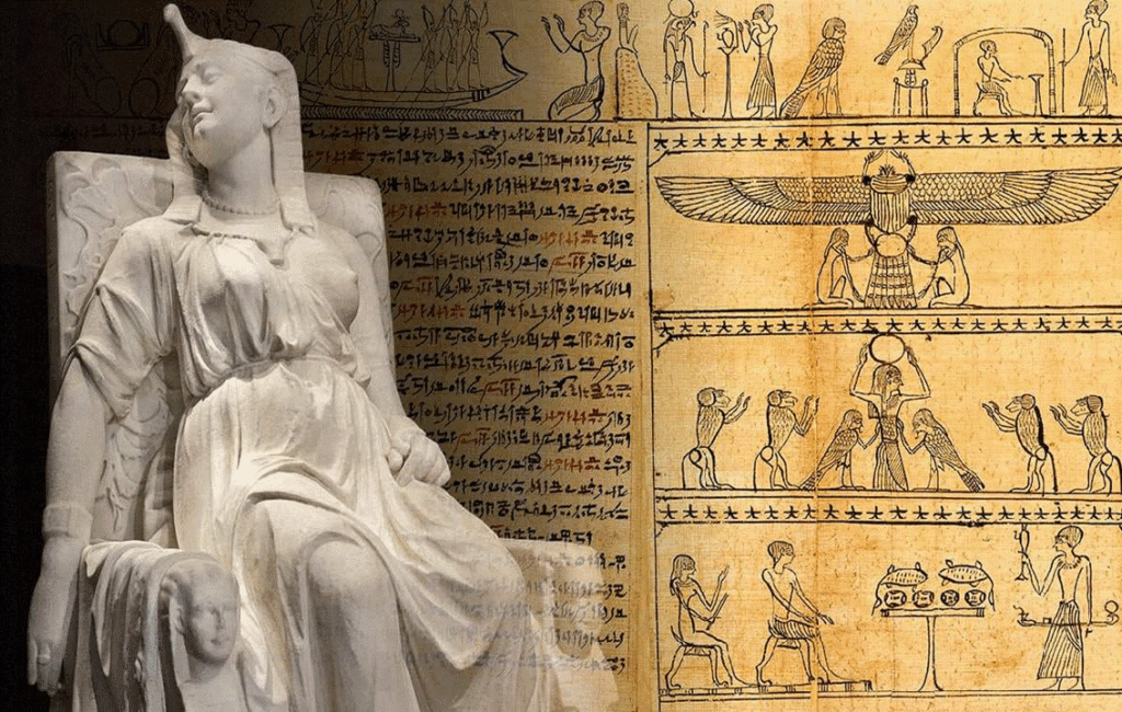
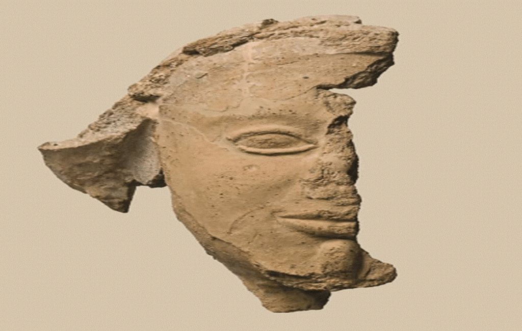
ARTIFACTS RECOVERED FROM MARION & ARSINOE
THE GREEK PTOLEMAIC KINGDOM OF EGYPT
In the 4th century BC, Cyprus came under the control of Alexander the Great. He used Cyprus to supply his armies in the Middle East and Asia. His administration further spread Greek culture throughout the island and this included the settlement of Marion. After Alexander’s premature death, his empire splintered into four smaller entities. Four generals succeeded him and Cyprus fell under the influence of the Greek Ptolemaic dynasty of Egypt. Marion at this time began suffering from constant pirate raids and eventually the Ptolemaic administrators decided to abandon the settlement altogether, moving its population to Paphos.
THE PTOLOMAIC DYNASTY OF EGYPT
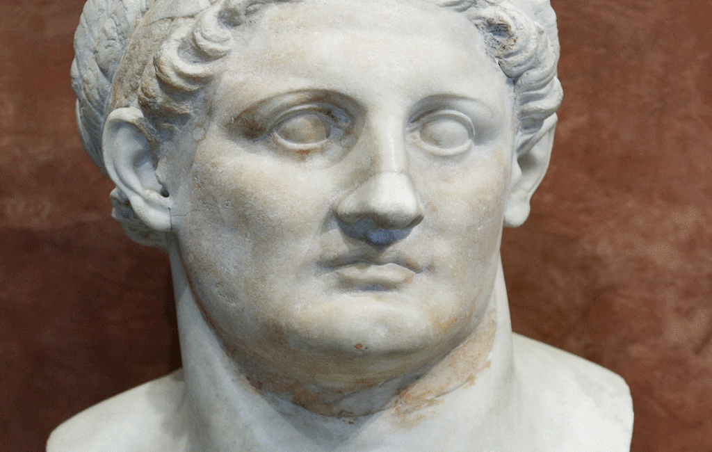
A STATUE OF PTOLEMY I OF EGYPT
THE NEW SETTLEMENT OF ARSINOE
Ptolemy II Philadelphus later re-established and fortified Marion. He renamed the settlement Arsinoe in honour of his Queen. The settlement began to prosper again and it soon became an important centre of influence. A flourishing Hellenistic artistic and intellectual community developed and a new building program saw aseries of new public buildings built. Mining activities renewed and this revitalised the region’s economy and the harbour once again became a hub of activity.
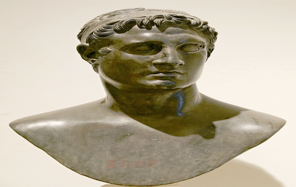
A STATUE OF PTOLEMY II PHILADELPHUS
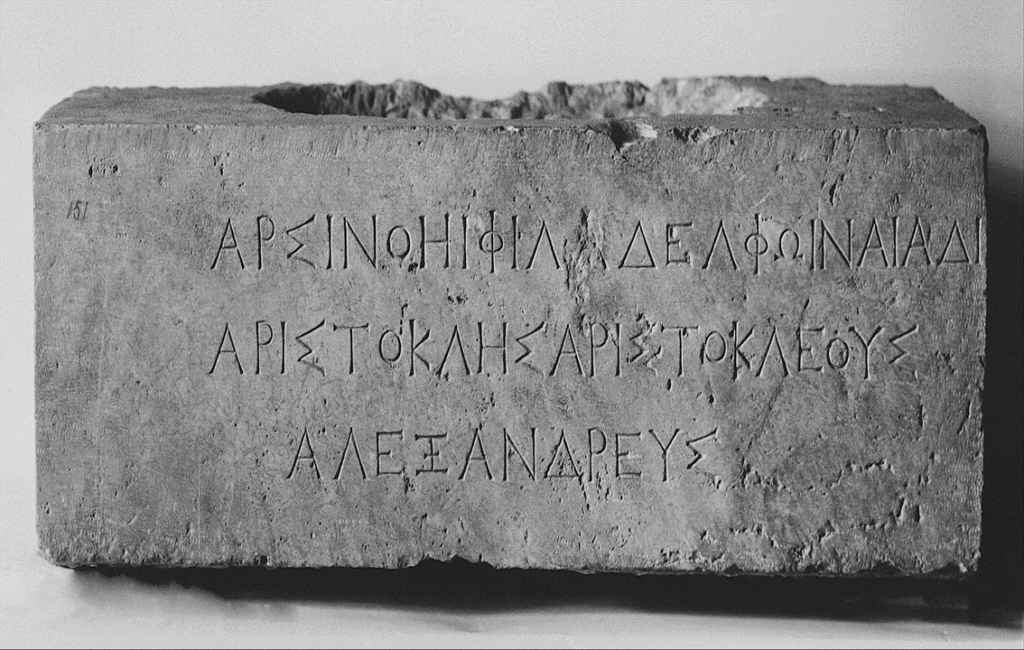
THE BASE OF A STATUE DEDICATED TO ARSINOE
THE ROMAN ERA
When the Roman Empire annexed the island in the 1st century BC, Cyprus became a senatorial province. Arsinoe was recognised as an important administrative centre and it received an influx of Roman settlers. Roman administration went on to build new roads and a series of new public buildings, transforming the settlement into a bustling urban centre. New trade networks expanding to other parts within the Roman Empire also became available to its natural harbour. This further boosted trade and ultimately its local economy. In the 4th century AD, the Roman Empire divided into a two distinct parts and Cyprus became part of the Orthodox Eastern Roman Empire or as it later became known, the Byzantine Empire.
A ROMAN ARTIFACT RECOVERED FROM THE RUINS OF ARSINOE
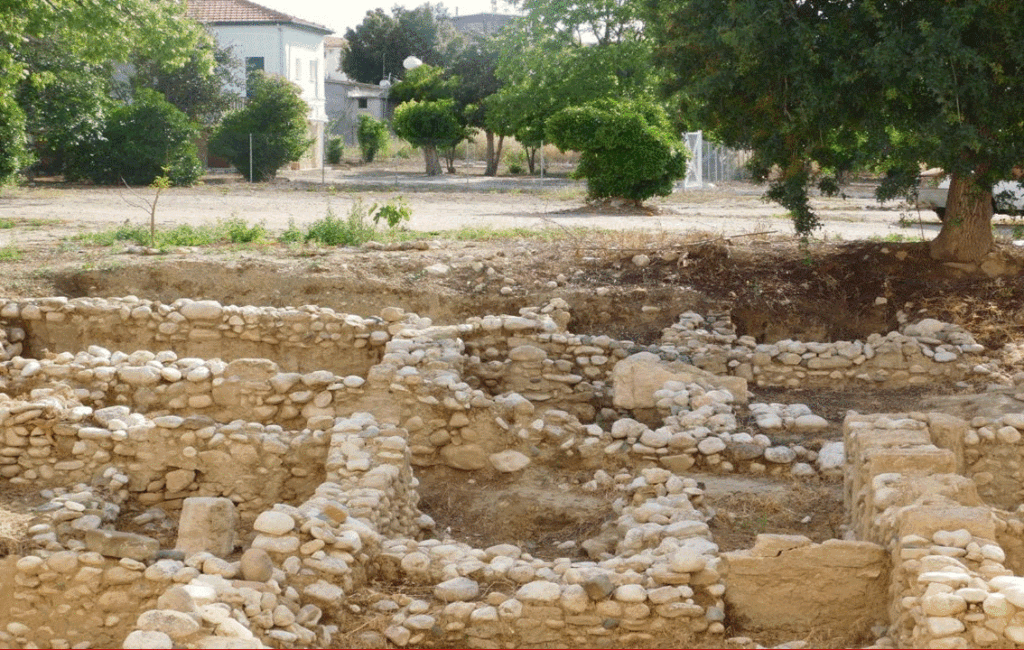
ROMAN RUINS OF ARSINOE
THE BYZANTINE ERA
Arsinoe continued to thrive during the Byzantine era. Trade and commerce continued and it maintained its importance as a regional trading post. Arsinoe was trading goods from all over the Roman Empire and trade expanded to new Eastern Mediterranean markets that included the Levant and North Africa. Byzantine administrators oversaw the construction of new Byzantine churches and monasteries and Orthodox Christianity was firmly established as the main religion on the island. As well as its important trading links, it also became an important strategic military outpost. The region’s defences were modernised to protect its shipping routes. At one point Arsinoe was used to defend the whole northwest coast against pirate incursions.
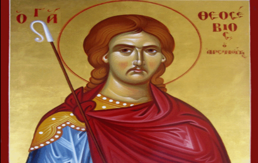
SAINT THEOSEBIOS OF ARSINOE
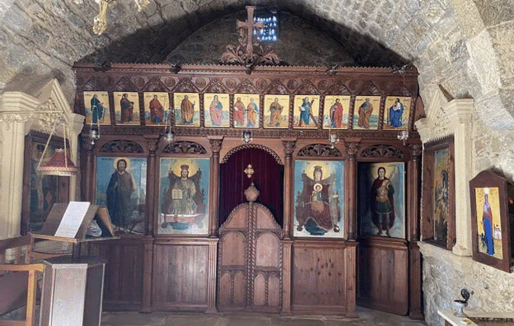
INSIDE A BYZANTINE CHURCH
THE CRUSADERS
Byzantine rule ended when the Crusaders conquered Cyprus in the 12th century. Richard the Lionheart took control of the island during the third crusade creating a new feudal kingdom on the island. The English king went on to exploit the island, enforcing extremely high taxes on its population. The economy of Arsinoe suffered during this period, mainly because of the high taxation and shifting trading routes. After a short rule by the the Knights Templar, control of the island was passed on to the Frankish Lusignan dynasty. They were looking for a new base in the immediate area after losing Jerusalem to the forces of Saladin. The franks kept the feudal system in place, but introduced a much fairer tax rate.The Franks built a castle and garrisoned Arsinoe to defend the region against pirate attacks.
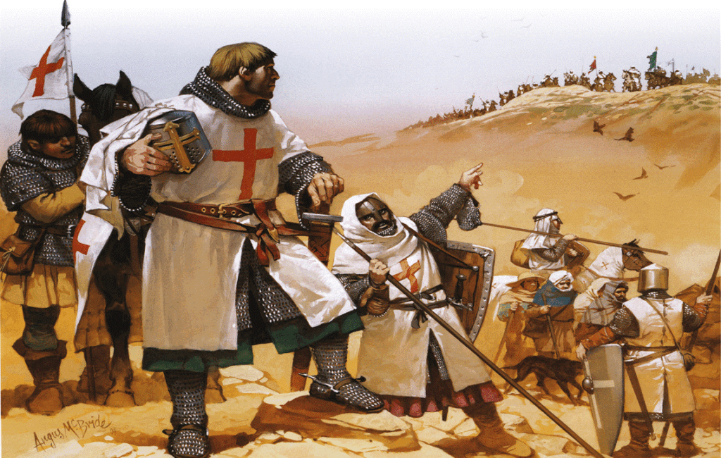
A DEPICTION OF CRUSADERS IN CYPRUS
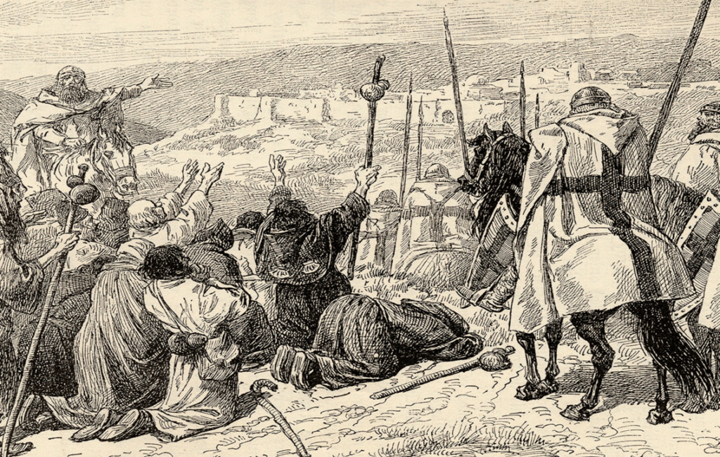
A DEPICTION OF THE KNIGHTS TEMPLAR IN CYPRUS
THE REPUBLIC OF VENICE
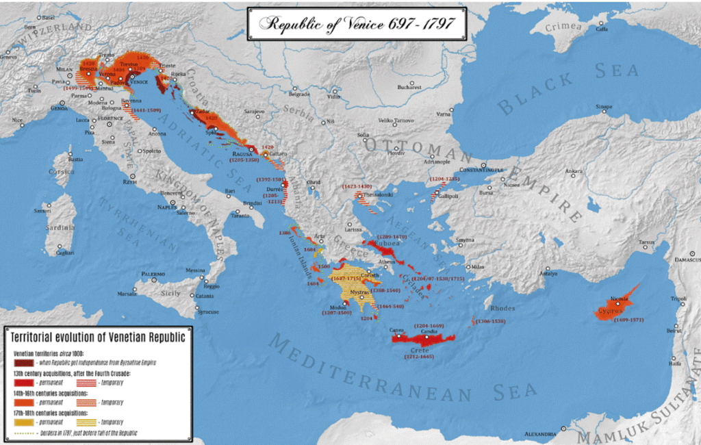
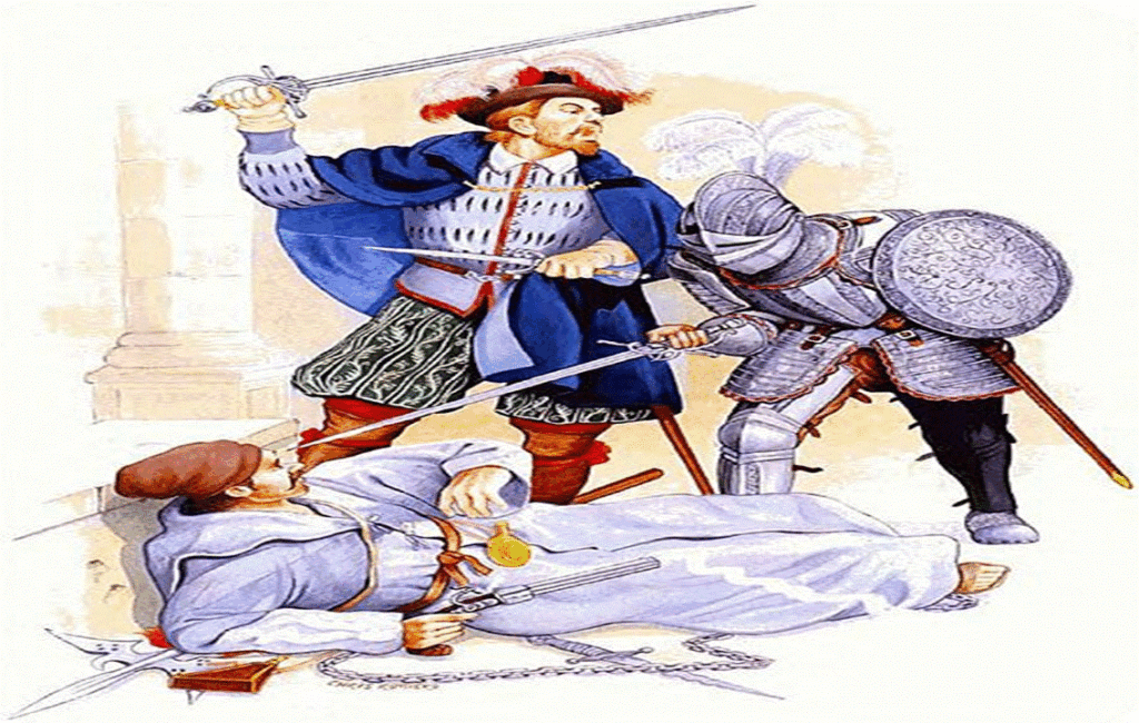
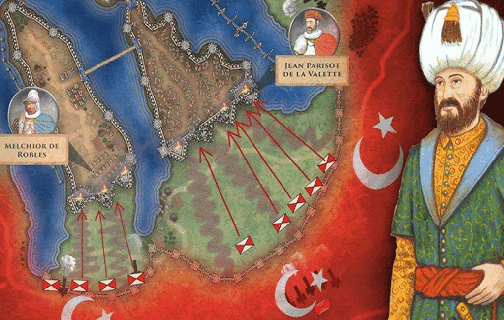
The Republic of Venice took control Cyprus by political means in the latter part of the 15th century. Europe at the time was wise to the threat of the emerging Ottoman Empire and the Republic of Venice not only saw Cyprus as a rigid trading hub, but as an excellent military base to counter the Ottoman threat. The Venetians made significant improvements to the island’s infrastructure almost immediately and constructed several new bridges and forts. They also built several new Catholic churches and monastaries and garrisoned the island with a professional army. The Venetians constructied a new modern harbour near Arsinoe and they re-enforced and garrisoned the fortifications that were built by the franks at Arsinoe. Although a coalition of Cathiolic forces were victorious at the sea battle of Lapento in 1571, the Ottomans still took full control of Cyprus in the same year. One of these battles sets the historical setting for Shakespear’s Othello, who commanded a Venetian garrison in Cyprus at that time.
VENETIAN TRADE ROUTES OF THE 16TH CENTURY
A DEPICTION OF A VENETIAN MAN AT ARMS
THE OTTOMAN EMPIRE
The Ottoman conquest of Cyprus in the latter part of the 16th century marked a new chapter in the history of Arsinoe. The new Ottoman administrators referred to the town as ‘Polis’ which translates to ‘the city’. This description was further extended to the name of the local river known as ‘Chrysochou’, which translates to ‘flowing with gold’. As well as a name change, Ottoman rule brought significant demographic and cultural changes to the town. Polis Chrysochous became the centre of the administrative district of the region during the Ottoman era, but it suffered economically after European trade routes were severed.
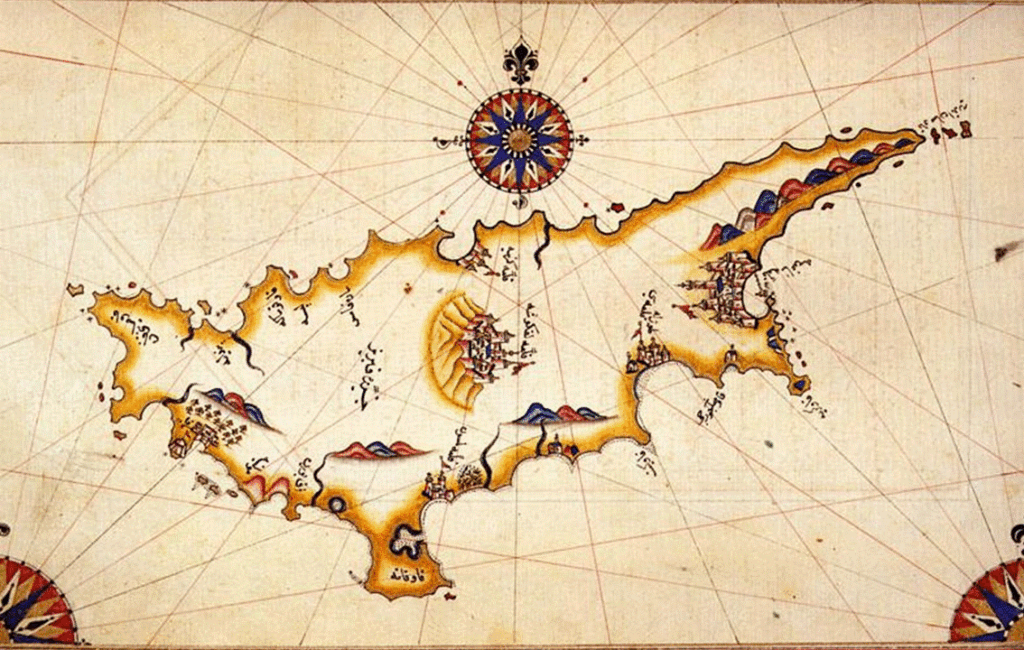
AN OTTOMAN MAP OF CYPRUS
A DEPICTION OF AN OTTOMAN SEIGE IN CYPRUS
THE BRITISH EMPIRE
The latter part of the 19th century brought British rule to Cyprus. Polis under British administration experienced a period of modernisation and economic growth. The British built new roads and introduced new schools and hospitals to the area.Economic prosperity improved with the introduction of new agricultural techniques that led to increased crop yields. Recognising the importance of Polis Chrysochous’ cultural heritage, the British made continued efforts to preserve the town’s historic buildings and landmarks.
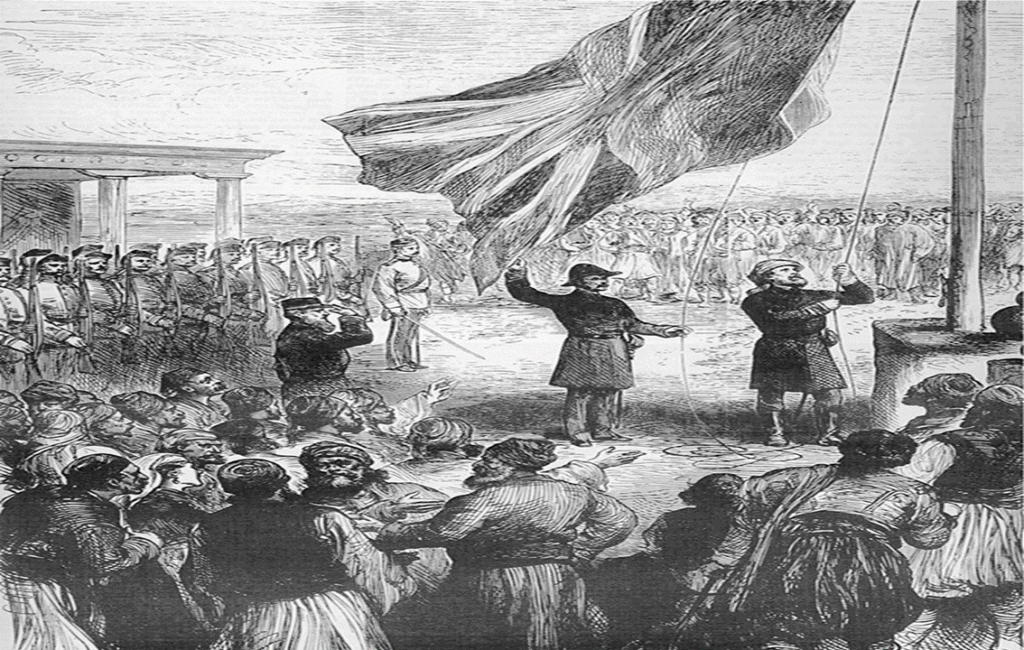
THE RAISNG OF THE UNION JACK IN CYPRUS
A BRITISH COLONIAL MAP OF CYPRUS
CYPRUS INDEPENDENCE
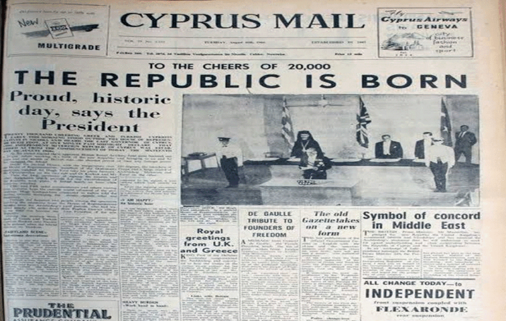
After Cyprus gained independence from British rule, Polis Chrysochous became part of the newly established Republic of Cyprus. The whole island faced the challenges of nation building and modernisation, but Polis continued to develop as a small agricultural coastal town. After the emergence of tourism, the whole Cypriot economy shifted towards this new industry. This led to the development of new hotels and resorts mainly along the coastline of the area.
THE SIGNING OF THE DECLARATION OF INDEPENDENCE
CYPRUS FRONT PAGE NEWS 1960
A BEACON OF ECO-TOURISM
Polis Chrysochous has become a beacon of eco-tourism and continues to attract visitors from around the world seeking to explore its rich natural beauty. The wider area is still relatively unspoilt and is home to several natural treasures. These include beautiful beaches and several archaeological sites. The Polis Chrysochous Municipal and Dasoudi Polis Chrysochous Beach are the most popular and they are both well-maintained to high standards. The Polis Chrysochous Camping site is open from April to October and is situated on the coast just north of the town.The Akamas National Park offers several nature and cycling routes.
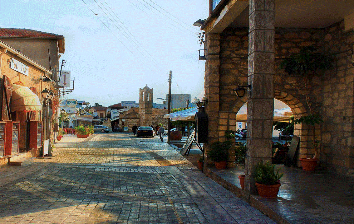
POLIS CHRYSOCHOUS TODAY
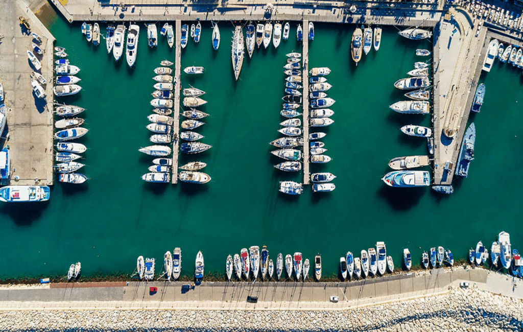
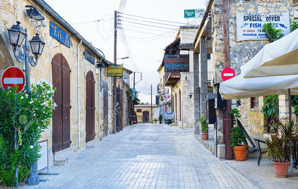
Polis Chrysochous today stands as a living testament to the enduring spirit of its people. Its history is evident in its well-preserved archaeological sites, museums, coveted churches and cultural festivals. The main square of the town acts as the central core of the town’s community and stretches along a picturesque pedestrian street bustling with banks, bakeries, hotels, cafes, bars, and restaurants. The town is dominated by the the 16th century Agios Andronikos church and the church of Agia Kyriaki, which is also known as Chrysopolitissa. The Latsi harbour, which can now accommodate over 200 recreational crafts, is a picturesque setting that is well known for its fresh fish. The town holds an annual fish festival during April to commemorate this.